
Compare Macon Street Tax Gateways
The assessor and Tax Commissioner answer related but different questions. The assessor maintains parcel records and appraised values. The Tax Commissioner bills and collects the tax. A searcher may reach both while tracing the same Macon address, but the two screens should not be treated as copies of one record.
The Bibb property tax search provides the official billing and payment route captured below.
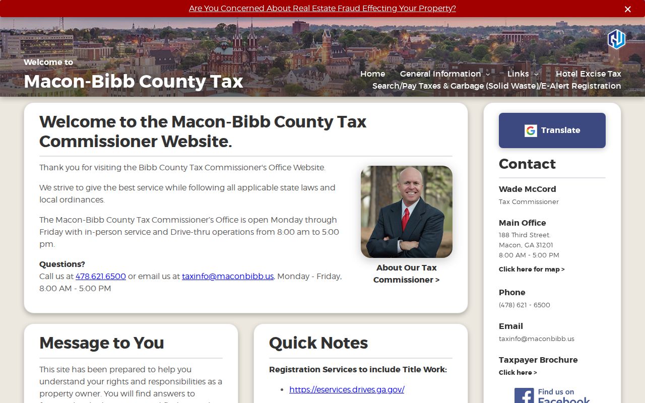
The tax gateway helps check the bill tied to a known parcel. Return to qPublic for assessed-owner, structure, exemption, permit, sale, and map detail. The Tax Commissioner is at 188 Third Street and can be reached at 478-621-6500. The assessor’s counter remains the fallback for parcel-card questions. Neither office publishes a list of all people who occupy a home.
The county’s authoritative Tax Parcels service exposes the mapped parcel layer and its technical entry points.
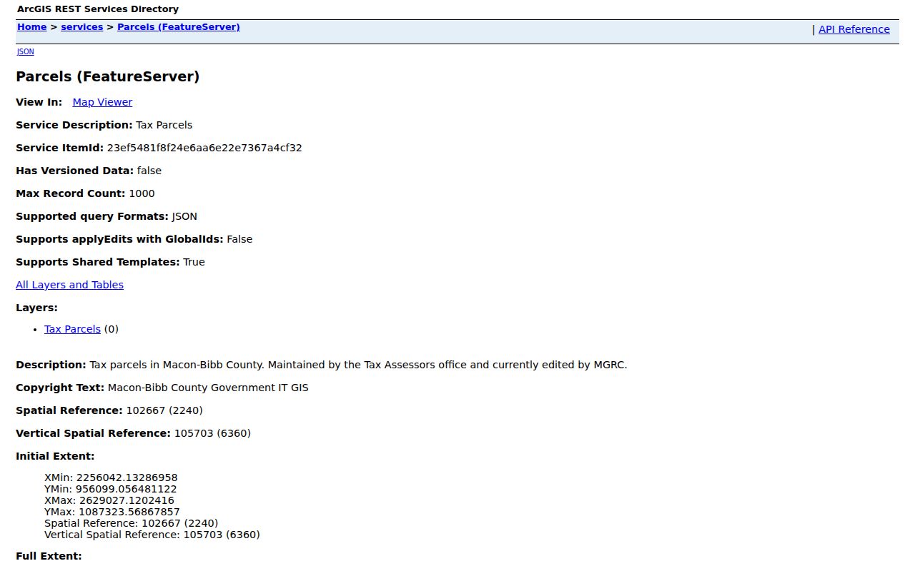
This service is valuable when the branded viewer changes or fails. Open its Map Viewer, locate the address, and click the polygon. The assessor maintains the layer, while the Middle Georgia Regional Commission edits the service. Its maximum query count is 1,000. That number is a service cap, not proof that a user can download a complete street roster.
Keep one research log for each address. Record the exact query, date, parcel number, situs, owner-mail distinction, and source URL. When the tax and map screens disagree, ask the custodian rather than choosing the result that seems newer. Assessment systems change over time, and a portal screen can lag a recorded instrument.
Walk a Macon Street by Address
Start with one complete address, not a person’s name. The Macon-Bibb Board of Tax Assessors links to the free qPublic parcel search, where the physical site can be matched to a parcel and assessed owner. That result is a lead, not a household roll. A tax owner may live elsewhere, and an owner mailing address may be a post office box or another property.
- Search the exact number and street in qPublic. Save the situs address, parcel number, legal shorthand, owner, mailing address, and sales references.
- Open the mapped parcel and click nearby polygons. Map adjacency is safer than assuming the next number is the next lot.
- Use the owner and book-page reference in the Bibb Clerk index. Read the instrument before calling a transfer an ordinary sale.
- For lawful election research, use an official voter-list order. My Voter Page is an identity-gated self-service tool, not a street browser.
- For an earlier occupant, consult a reverse street section, then confirm the name in the alphabetical section.
This chain makes a street directory useful without blurring owner, voter, and occupant. It also leaves a trail that can be checked at a counter or library when a portal fails.
Search Macon Street Parcel Fields
The qPublic application accepts several keys, but Location Address owns the by-address task. Search a plain street stem when directionals or suffixes cause trouble. Preserve the parcel number exactly, including letters, spaces, and suffixes. Tax-card legal text is abbreviated and is not fit for a deed.
| Control | Input | Street use | Limit |
|---|---|---|---|
| Owner Name | Text | Checks parcels for a known owner | Partial-match rules are not published |
| Parcel Number | Text | Returns to one tax unit | Keep the full alphanumeric form |
| Location Address | Text | Searches the taxable site | Try spelling and directional variants |
| Legal Description | Text | Separates similar sites | Not deed-quality |
| View Map | Link | Opens parcel context | Not a survey |
A returned Bibb parcel card carries more than the four search keys. The inspected county example separates Parcel Number, Location Address, owner name, and owner mailing address. It can also show class, tax district, acreage, neighborhood code, homestead exemption, land-lot and district data, and a link to the map. Improvement fields may describe the structure's use, heated area, exterior walls, roof, heat, room counts, year built, condition, and a photograph. Land rows can add square feet, frontage, depth, acres, or lot counts. These details help distinguish two records on a Macon street, but they do not identify every person inside either building.
Sales rows need their own check. A card may display the transfer date, deed book and page, plat book and page, price, grantor, grantee, and a reason or qualification code. The inspected sample labels sheriff's tax deed, bank sale, foreclosure, outlier, and unqualified transfers. A listed price is therefore not automatically an open-market sale. Open the cited deed and read its instrument type, parties, legal description, and prior reference. Likewise, the card's zoning label is for tax use and is not a formal zoning determination. Its legal-description field expressly should not be used on legal documents.
Permit rows can connect an address to dated work through a permit number, type, and description. Structure facts and a permit can explain why two editions, photographs, or tax cards seem to describe different buildings at the same number. Save the parcel card as viewed, then ask the assessor or records custodian for older material when the online history is shallow. Current cards contain sales of varying depth, and the county has not published a guaranteed first year for every field.
The portal does not state its first online card year, wildcard rules, or blank-search policy. For an archived card or working paper missing online, contact the assessor at 688 Walnut Street, Suite 200, or 478-200-5550.
Map Macon Street Parcels
The county map adds shape and block context. Search or zoom to the site, click the target polygon, then inspect lots sharing a side or rear boundary. Across-road lots may matter too. Curves, alleys, flag lots, campuses, and corners often break a house-number sequence.
The Macon Insights mapping portal provides a practical entry to county map data.
The view places a tax record on the street, but the lines are context, not a boundary survey. If it fails, use the Tax Parcels feature service and Map Viewer. Its query limit is 1,000 records.
Macon Street Records by Source
No one file says who lives along a whole Macon street. Each source records a different event or role. Join facts only when parcel, legal description, address, and time agree.
| Source | What it shows | Access | Caution |
|---|---|---|---|
| qPublic | Situs, owner, mail, parcel, exemption, structure, permits, sales | Web, assessor counter, phone | Not an occupant list |
| ArcGIS | Lot shape and adjacency | Viewer or service | Not a survey |
| Deeds | Parties, legal land, instrument, book-page | eSearch, GSCCCA, clerk books | Mainly party indexed |
| Voter file | Registration address presence | State order | Redactions and use limits |
| Permit file | Work dates, type, applicant when recorded | Tax card or records request | No complete portal verified |
| Reverse directory | Historic householder and nearby entries | DLG or library | Edition gaps |
A parcel number joins card and map. A book-page joins the card to a deed. Historical work then moves to street guides and census schedules. Dates must agree.
Decode Macon Address Terms
Four terms prevent most street-directory errors. They look alike on screen but serve different systems.
- Parcel
- The assessor’s mapped tax unit, identified by a parcel number.
- Situs address
- The physical taxable site, distinct from where tax mail goes.
- Plat
- A recorded drawing of lots, roads, dimensions, and related land features.
- Criss-cross directory
- A later directory section arranged by street and number for address-to-householder work.
Homestead data can support an owner-occupancy theory, but it does not name the household and may lag a move. A mailing address never proves residence.
Trace Deeds Along Macon Streets
Convert the address to an owner, parcel, legal description, and recent book-page. Search the owner as grantee, the party receiving an interest. Read that deed, take its grantor, the party transferring the interest, and search that grantor as a grantee earlier. Repeat while the legal land identity matches.
The Bibb Clerk records gateway sends land work to eSearch. County material states that its real-estate index covers 1950 to present. Guests can see index data, while images may require an account and subscription. The clerk at 601 Mulberry Street, Suite 216, is the fallback for earlier indexes, deed books, plats, and certified copies. Call 478-621-6527 at the web cutoff.
Warranty, quitclaim, executor, tax, foreclosure, and security deeds have distinct effects. Record the instrument, dates, parties, book-page, return address, and prior reference before drawing a conclusion.
Search Macon Streets Three Ways
The 1925 Polk volume is three indexes in one binding. Alphabetical names fill pages 89 through 1002, the street and householder section pages 1003 through 1134, and classified businesses pages 1135 through 1232. Start by street, then switch to the name entry. That move can recover text hidden by poor OCR or an abbreviation.
The 1924 guide lists streets, number ranges, householders, and “Vacant” entries. It is historical, not current. Publishers, editions, and entry marks receive full treatment in the Macon city directories collection.
Note: Save each volume’s title page and abbreviation key before copying an entry, since marks can change by edition.
Request Macon Street Permit Files
A permit can date work that a deed will not show. The inspected parcel sample includes permit date, number, type, and description, though depth varies. No stable official portal with a complete address-indexed permit and code history was found.
Use the Macon-Bibb records request. Give the street address, parcel, record type, and narrow dates. Ask for existing applications, owner shown, applicant or contractor, work description, inspections, and final status. Georgia agencies generally respond within three business days, subject to exemptions and reasonable search, redaction, and copy costs. An office need not create analysis.
Verify Each Macon Street Address
One road can cross postal boundaries. “Macon” can also mean a postal city, the former city, or consolidated Macon-Bibb. Verify each full address with the USPS ZIP lookup. A Census ZCTA is a generalized statistical area, not an exact mail boundary.
Downtown began as a geometric grid, but suburban and rural roads do not follow one plan. Consolidation in 2014 made countywide map and assessor work vital. No complete official renaming or renumbering chronology was found. Pair an old address with street guides, Sanborn or ward maps, deed descriptions, and parcel shape rather than guessing.
Read Macon Street Voter Evidence
Georgia My Voter Page returns a voter’s own status, polling place, districts, sample ballot, and ballot status after identifying input. It is not a reverse street directory. A formal voter-list order can contain residence addresses for lawful sorting, but protected addresses, gaps, and O.C.G.A. §21-2-601 use limits apply.
Registration shows an address reported on the file date. It does not name every occupant, and absence does not prove vacancy. VoteSafe can protect an eligible survivor’s registration address without erasing every deed, tax record, or old directory. These sources must stay separate.
Limits of Macon Street Directories
A street directory cannot show every renter, child, roommate, guest, or occupant. Utility, delivery, and driver files are not open household rolls. A deed proves a recorded interest, not who sleeps there. A tax card names an assessed owner and mail destination. An old listing belongs to its edition.
Use Macon address records for family or house history, estate work, civic research, or checking a property claim. Keep the task tied to a sound purpose and collect no more personal data than needed.
Lawful use. Macon address records are for lawful personal research. Never use a street search to stalk, harass, intimidate, or harm anyone.