
Macon Neighbors by Block
Public sources answer narrow block questions. The parcel map shows adjacency. The assessor roll identifies the person or entity assessed for each mapped parcel and keeps the owner's mail address separate from the situs. An ordered voter file can show registration presence at reported addresses, within state limits. Public neighborhood-group contacts show how residents organize, but not who belongs. Historical street directories can reconstruct an older block.
| Block source | Useful evidence | Access and limit |
|---|---|---|
| Macon-Bibb ArcGIS parcels | Parcel shapes and physical adjacency | Free map; not a survey |
| Bibb qPublic | Assessed owner, mail, homestead, structure, and sales | Free; owner is not always occupant |
| Official voter list | Registration presence at reported addresses | SOS order rules and redactions apply |
| Neighborhood groups | Public officers and meeting contacts | No countywide private member roster |
| Reverse directories | Past households listed by street number | Library and digitized volumes; gaps occur |
An assessor card proves how the tax office records a parcel, not who sleeps there. Matching owner mail and situs plus a homestead entry may support owner occupancy, but it still does not list the household. Registration means a voter reported that residence at a point in time. Absence from a roll says little. Keep the claim no broader than its source.
Macon Parcel Shapes Define Neighbors
House-number order fails around corners, alleys, cul-de-sacs, flag lots, and campuses. Open the Macon-Bibb Tax Parcels service in Map Viewer. Search or zoom to the address, click its polygon, then click every polygon sharing a side or rear edge and those across the road. Record each parcel ID.
No county documentation confirms a live radius or buffer control, so do not promise one. A measure or select tool may appear, but the map is not a boundary survey. The parcel layer is maintained by Tax Assessors and edited by MGRC, and the service caps a REST query at 1,000 records.
Record the geometry before opening any name record. A lot that touches only at one corner may not function like a side neighbor, and a narrow access strip can make a distant house legally adjacent. Across-road parcels should be kept in their own category. For each polygon, save the parcel ID, street address, and the direction from the starting lot. Macon GIS can also supply district, trash-day, and property-line context, but those layers describe service or civic geography. They are not resident lists. If the branded viewer fails, the parcel service's Map Viewer is the documented fallback.
Confirm Macon Neighbors in qPublic
Take each parcel ID to the Bibb assessor records gateway. Review the owner, situs address, separate owner-mail address, homestead field, legal shorthand, structure, and sales. A post office box in the mail field is not proof that the owner lives away from the parcel. It is just the tax notice destination.
Multiunit sites need care. One parcel can contain many units, and a condominium may use separate parcel records. Campuses and large tracts can make a close building look like a separate lot when it is not. Follow polygons first and street labels second.
The Bibb parcel search accepts an owner name, parcel number, location address, or legal description as the search key. The record may also include exemption amounts, acres, land and improvement facts, permits, and deed book-page references. Sales can be marked as bank, foreclosure, tax deed, outlier, or unqualified transfers. Those labels matter when a recent transfer seems to conflict with the owner field. Follow the recorded instrument before deciding that a nearby household changed. For a historic card or working paper not online, contact the Tax Assessors at 688 Walnut Street, Suite 200, or use the office phone listed by the custodian.
Map a Macon Block Outward
The adjacent-parcel method turns one address into a small, defined research set. It works best when every conclusion stays tied to its parcel number.
- Locate the target in Macon Insights or the ArcGIS Map Viewer and confirm its polygon.
- Click all side-sharing, rear-sharing, and across-road parcels. Save their IDs rather than relying on visual order.
- Open each qPublic card and record assessed owner, situs, mail address, and homestead status as separate fields.
- Mark each statement as mapped adjacency, ownership, or possible owner occupancy. Do not turn any one field into a household claim.
When the question expands beyond the immediate block, use the Macon street directory for the full named-street record chain. That broader task repeats address searches along the road and follows deeds in more depth.
Macon Voter Data Is Limited
Georgia's My Voter Page is a self-lookup. A voter supplies identifying data to retrieve status, polling place, districts, ballot information, and related details. It is not a reverse address search and cannot be browsed door by door.
A formal ordered voter list may support address sorting after delivery, subject to redactions and the commercial-use ban in O.C.G.A. §21-2-601. VoteSafe can protect an eligible survivor's registration address. It does not erase every deed, tax card, or old directory entry, so avoid claiming a person has vanished from all public records.
The official Bibb election office page is shown below.

The Bibb Board of Elections remains the local source for election administration, while statewide list orders go through the Secretary of State.
Do not substitute a precinct map for parcel research. Precincts can include many blocks, and one block can sit near a boundary. A ZIP code is also postal geography, not a voting district or a neighborhood line. Consolidated Macon-Bibb contains places with non-Macon postal labels, while a Macon mailing address can reach beyond the old city limits. State the geography being used: shared parcel edge, postal route, precinct, district, or voluntary neighborhood. This prevents a loose map label from becoming a false claim about who counts as a neighbor.
Macon Neighborhood Groups Add Context
County pages document active groups and watches, but they do not publish private membership lists. Use a public organizer or meeting contact to learn about a block. Do not infer that every nearby resident belongs.
| Area or group | County evidence | Directory status |
|---|---|---|
| Beall's Hill and Pleasant Hill | Cleanup and Shalom Zone activity | Public activity; no member roster found |
| Unionville and East Macon | Shalom Zone meetings | Community contact, not household proof |
| Kings Park | Association/watch and Good Neighbors program | Public program contact only |
| Fort Hill and Sherwood Forest | Neighborhood watch activity | No public member list located |
| Vineville Historic area | County cleanup page | No member directory located |
The county's Neighborhood Program Coordinator helps groups organize and attends meetings. The successful official page capture below shows that public route.
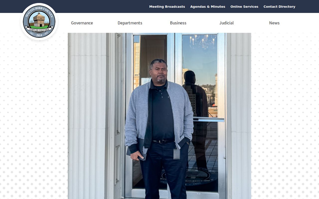
Visit the Macon-Bibb neighborhood program to seek a public contact rather than private member data.
Other county-documented groups include Lake Arrowhead, Walnut Creek, Friends of Payne City, Lokchapee, Villa/Ayers, and the Vineville Historic Neighborhood Association. Shalom Zones have also been documented for Lynmore Estates, Hillcrest, Village Green, Bellevue, South Macon, and Kings Park. These names are useful search terms for meeting notices, cleanup events, and public contacts. They do not establish a fixed boundary or complete roll. Congregations, watches, and civic groups remain private organizations even when they work with county staff. Ask an organizer to pass along a message instead of seeking member addresses.
Rebuild an Older Macon Block
The 1924 Polk directory includes a Street Guide and Directory of Householders. It organizes a street by its route and numbered addresses, sometimes marking a place vacant. Read that section across the block, then check each named person in the alphabetical pages. The 1935 directory adds street and numerical telephone guides and richer household details, though it is not a complete census.
Washington Memorial Library holds the digitized Macon directory collection, with 68 full-text items ranging from 1860 through 1964. Search optical text, then browse scans because old type and initials can defeat the index. Historic Macon's ongoing Memory Lab work adds archival neighborhood footage and documents, including material tied to Huguenin Heights, Pleasant Hill, and Third Street.
Directory abbreviations need to be read from the volume's own key. The 1860 edition uses forms such as “bds.” for boards, “bel.” for below, “bet.” for between, and “wid.” for widow. Early entries often give a relative location instead of a house number. Later street guides are more direct, but their coverage statements can include mill villages and developments beyond central Macon. Pair an old street run with a ward or Sanborn map and the nearest public census. That combination can show the block's past households without treating one directory survey as complete.
Macon Official and Commercial Results
Official sources are narrow but traceable to a custodian. Commercial neighbor tools can blend deeds, marketing files, and stale feeds, then merge households. Compare the claim type before relying on a name.
| Source type | Strength | Main limit |
|---|---|---|
| Parcel map and assessor | Mapped lot and assessed owner | Does not enumerate occupants |
| Official voter file | Registration at reported address | Redactions, gaps, and use limits |
| Public group contact | Current civic connection | Voluntary and not a roster |
| Commercial compilation | Broad possible leads | Source age and household matching may be unclear |
For civic curiosity or personal safety, favor the record with a named custodian and current date. Verify any claim before acting on it.
Privacy Limits for Macon Neighbors
A block lookup cannot reveal every renter, child, roommate, or visitor. Utility, delivery, and motor-vehicle account data are not public neighbor directories. Voter files can omit protected data, and association or congregation rolls remain private unless the group chooses to publish a contact.
Keep the scope small. Research an immediate block for civic contact, family history, property context, reconnecting, or personal safety. Do not collect a broad roster when a public meeting contact will answer the need.
Lawful use. Macon neighbors records are for proportionate, lawful research. Never use them to watch, harass, intimidate, stalk, or harm anyone.